


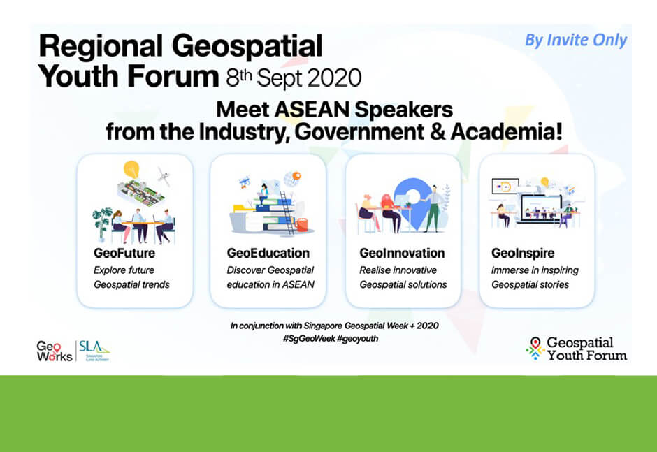
The Regional Geospatial Youth Forum (RGYF) 2020, held over Zoom on 8 September 2020, saw the participation of more than 200 young geospatial professionals, consisting of students from various ASEAN tertiary institutions as well as geospatial professionals from ASEAN Geospatial Agencies. An annual forum, the RGYF aims to generate geospatial interest and awareness and build a vibrant community among young professionals and students from Singapore and various ASEAN countries and regions.
With a total of four webinars organised, focusing on the themes of GeoFuture, GeoEducation, GeoInnovation and GeoInspire, the RGYF 2020 focused on exploring the future trends and innovations that would have an impact on the geospatial sector, as well as related education and career opportunities.
the Q&A session
GeoFuture
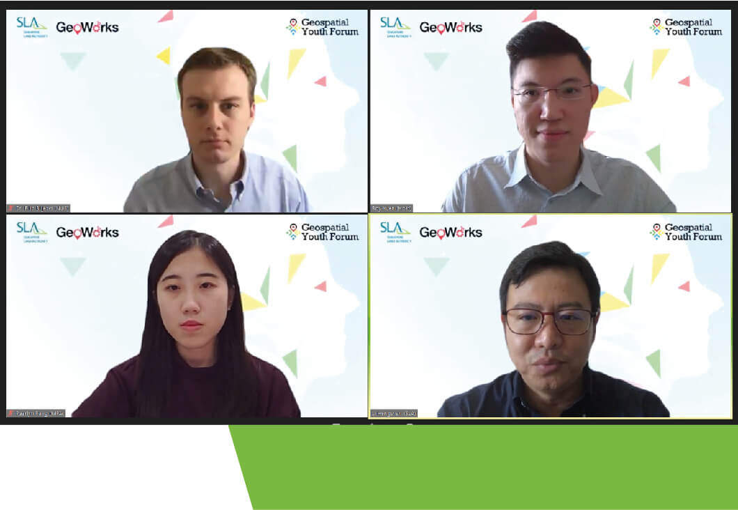
Participants had the opportunity to hear three young speakers share their thoughts about the geospatial landscape of the future. Dr Li Hengshan from the Singapore Land Authority (SLA) introduced upcoming trends in geospatial information management and talked about Singapore’s experience in delivering value using geospatial data, while Ms Pearlyn Pang from the Maritime and Port Authority of Singapore (MPA) discussed how these trends would have an impact on the marine geospatial frontier. Finally, Dr Filip Biljecki from the National University of Singapore (NUS) presented findings from ongoing research on 3D city models, and explained how machine learning and crowdsourcing could add to and help complete such models around the world.
and the organising committee
GeoEducation
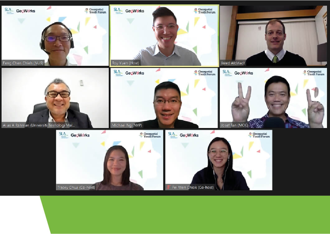
GeoEducation took the form of a dialogue between academics regarding the future of geospatial education in ASEAN institutions. Led by moderator Mr Josef Tan from the Ministry of Education (MOE), and featuring a diverse academic panel from the University of Technology Malaysia, NUS, the Singapore Institute of Management Global Education and Nanyang Polytechnic, this session delved into some of the emerging opportunities that geospatial professionals could look forward to, the typical learning experiences of and entry requirements to the respective schools’ geospatial programmes, as well as geospatial data ethics and dilemmas.
panel and the organising committee
GeoInnovation
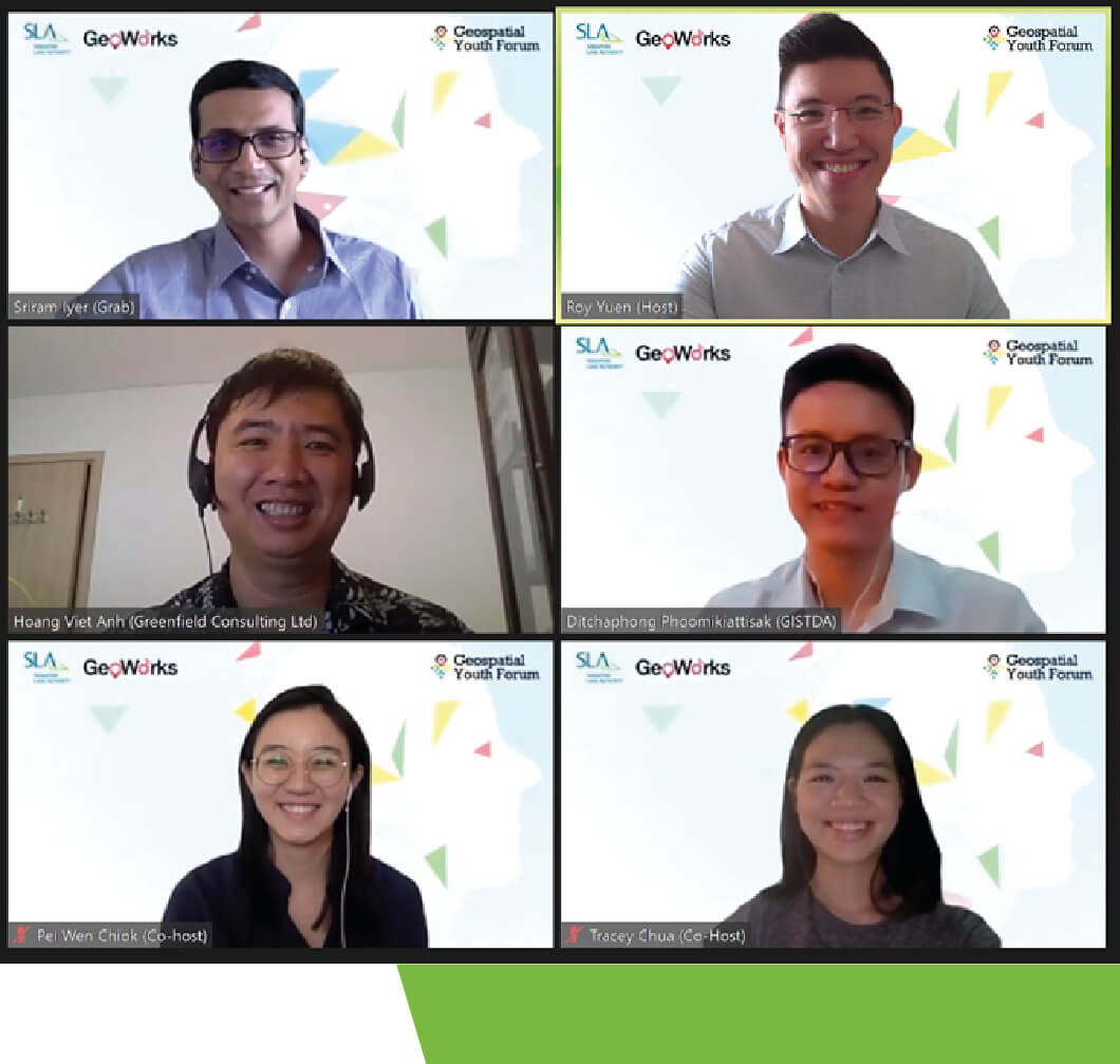
This segment saw three speakers from across ASEAN share the innovative geospatial solutions they came up with to tackle ever-evolving challenges. The first speaker, Dr Ditchaphong Phoomikiattisak from the Geo-informatics and Space Technology Development Agency in Thailand, shared how geospatial information and technology supported new ways of policy making and helped in analysing the impact of COVID-19 in Thailand. The second speaker, Dr Hoang Viet Anh from GreenField Consulting Limited in Vietnam, discussed some disruptive innovations in the geospatial industry and how his company had leveraged them to address natural resource management. Lastly, Mr Sriram Iyer shared how the use of cutting-edge mapping technology served the location needs for Grab, and shared how his team had adapted to the new normal realities created by the pandemic.
personal geospatial experiences
GeoInspire
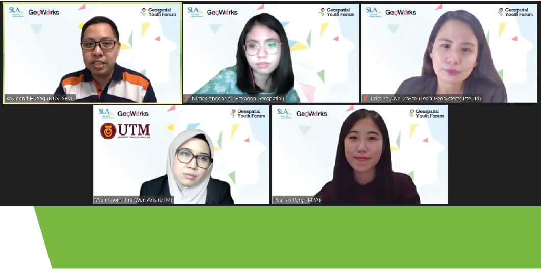
Attendees also had the opportunity to engage with four young professional speakers from varying backgrounds (academia, the private and public sector) and nationalities (Indonesia, Malaysia, the Philippines and Singapore) through a session led by Mr Raymond Huang from NUS. The young geospatial professionals shared how their careers had begun, their personal geospatial stories and their motivation to contribute to the geospatial profession. The dialogue also emphasised that even those from non-geospatial backgrounds could contribute to the geospatial community.
Despite the air travel restrictions amidst the pandemic, the RGYF 2020 succeeded in bringing together young geospatial professionals from the ASEAN region with the common passion of proliferating the use of Geospatial information and technology. Indeed, the forum was just a small step towards building an ASEAN Geospatial community, and SLA hopes to see more of such efforts in the coming years!